


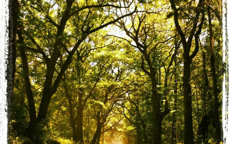

Edisto Island hiking trails are short, flat and full of scenery: maritime forest of live oak and palmetto, boardwalks over the salt marsh, a 4,000-year-old shell midden and miles of beach. You won’t find elevation here, but you will find easy walks that suit kids, grandparents and anyone who’d rather look at herons than at a step counter.
Most marked trails are in Edisto Beach State Park, which has about 4.2 miles of trail. Beyond the park, you can walk the causeway to Botany Bay’s beach, explore small land trust preserves, or simply walk the shoreline at low tide. This guide covers them all, plus what to bring and how to handle Lowcountry bugs and ticks.
At a Glance
- Where: Edisto Beach State Park (7 marked trails), Botany Bay Plantation Heritage Preserve, Edisto Island Open Land Trust preserves and the beach.
- Difficulty: Easy. The terrain is flat, with sand, packed sand-mix, natural soil, boardwalk and pavement.
- Cost: State park admission is $8 adults, $5 SC seniors, $4 ages 6–15, free for 5 and under (2026). Botany Bay is free with a day-use pass from the entrance kiosk.
- Hours: State park 7 a.m.–6 p.m., until 8 p.m. during Daylight Saving Time. Botany Bay opens 1 hour before sunrise and closes 1 hour after sunset, and is closed Tuesdays and on scheduled hunt days.
- Best season: October through May, when it’s cooler and the bugs ease off.
- Tips: Start early, carry water and use insect repellent. Do a tick check after every hike.
Edisto Island Hiking Trails at Edisto Beach State Park
The state park lists seven trails, all rated easy and all open to hikers and cyclists. Together they add up to about 4.2 miles, and the park describes the network as over 4 miles of ADA-accessible trail. Lengths below are the park’s official figures as of 2026; check the park trails page for the current map.
| Trail | Length | Surface | Good to know |
|---|---|---|---|
| Spanish Mount Trail | 1.7 mi | Compacted sand mix (reported) | Ends at the Spanish Mount shell midden on Scott Creek |
| Scott Creek Trail | 0.7 mi | Includes boardwalk sections | Marsh and creek views; the Edisto Bike Trail starts at its junction |
| Forest Loop Trail | 0.5 mi | Natural soft surface | A loop through maritime forest |
| Big Bay Trail | 0.4 mi | Not listed | Short; see the park map |
| Edisto Bike Trail | 0.4 mi one way | Paved | Links the Scott Creek Trail junction with the beach area and town |
| Campground Trail | 0.3 mi | Not listed | Short; see the park map |
| Bache Monument Trail | 0.2 mi | Not listed | Leads to an 1850s U.S. Coast Survey baseline marker |
Spanish Mount Trail
The park’s longest trail runs 1.7 miles through maritime forest to Spanish Mount, a Native American shell midden the park dates to about 2000 B.C. It’s eroding into Scott Creek, so it’s worth seeing while you can. The trailhead is also an admission pay point. Read the full story on our Spanish Mount page.
Scott Creek Trail
At 0.7 miles, Scott Creek Trail includes boardwalk sections at the marsh edge, so it’s the best short walk for marsh views, fiddler crabs and wading birds. It’s also where the paved Edisto Bike Trail branches off toward the beach.
Forest Loop Trail
This 0.5-mile loop stays on a natural soft surface under the trees. It’s a shady choice on a warm day, though the forest floor can hold puddles after heavy rain.
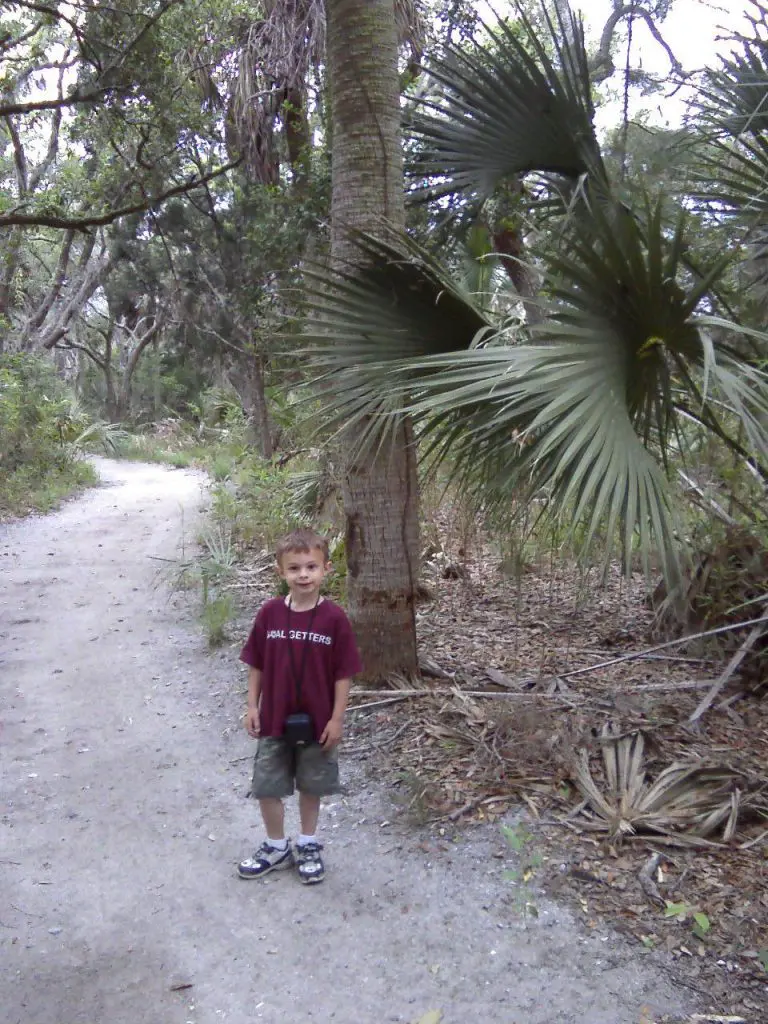
Edisto Bike Trail
This paved 0.4-mile causeway links the Scott Creek Trail junction with the beach area and the town, and it’s the link between the park trails and the island bike route. Walkers use it too. See our Edisto Island bike paths page for the full route.
Big Bay, Campground and Bache Monument Trails
These three short trails, 0.4, 0.3 and 0.2 miles, are easy add-ons. The Bache Monument Trail leads to one of the two surviving endpoint markers of the Edisto baseline, measured around 1850 by Alexander Dallas Bache’s U.S. Coast Survey and today the oldest intact baseline of the survey. It’s a short walk from the Environmental Learning Center (Tuesday–Saturday, 9 a.m.–4 p.m.), which makes a good start or finish to any park hike.
Suggested Park Walks
- Short and sweet (under an hour): Scott Creek Trail plus the Forest Loop.
- History walk: Bache Monument Trail and the Environmental Learning Center, then Spanish Mount.
- Half-day outing: Spanish Mount Trail out and back, then the bike trail to the beach for a swim or picnic.
For fees, the beach and everything else in the park, see our Edisto Beach State Park guide.
Walking at Botany Bay
Botany Bay Plantation Heritage Preserve, at the island’s northeast end, is the other big walking destination. From the parking area, an easy walk of about half a mile crosses a causeway through the salt marsh and a wooded hammock to the beach, where bleached trees stand in the surf. SCDNR describes the causeway as wheelchair accessible. The beach itself is only reachable at low tide, so check the Edisto tide charts first.
The preserve is free, but you need a day-use pass from the kiosk at the main gate. It’s closed every Tuesday and on scheduled hunt days, mostly from September through January. There are no restrooms or trash cans, dogs aren’t allowed on the causeway or beach, and you can’t collect anything, shells included. Hours, closures and rules are covered in our Botany Bay guide, and the beach walk in our Driftwood Beach guide.
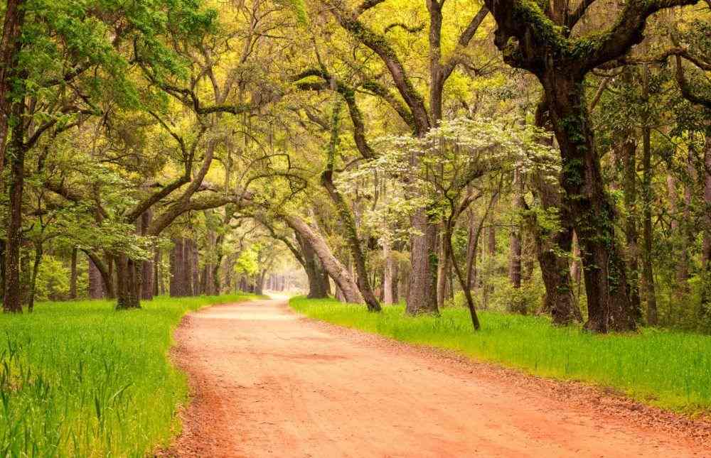
Getting there is half the fun. The drive in along Botany Bay Road passes under a canopy of moss-draped live oaks; our Tunnel of Trees page explains where to look and how to stop safely.
Land Trust Preserves
The Edisto Island Open Land Trust protects thousands of acres on the island, and much of the land it owns outright is open to the public. Two preserves have trails:
- Legacy Live Oak Memorial Park: 12.4 acres on Sand Creek just off Highway 174, with a trail, marsh views and good birding.
- Hutchinson House preserve: An 18-acre public access preserve on Point of Pines Road with a trail, signs and a parking area. The historic house itself is still under restoration and not open for tours; see our Edisto Island Museum page for its story.
Hours for these properties aren’t published. Check with the land trust at edisto.org or (843) 869-9004 before you go.
Beach Walks
The state park alone has 1.5 miles of beach, and the town beach continues beyond it, with 37 public access points along Palmetto Boulevard. Walk near low tide, when the sand is firm and wide; at high tide the beach can narrow to almost nothing in places. Stay off the wooden groins, which are slippery and a common cause of injuries, and stay off the dunes. Parking and access details are on our Edisto Beach public access page.
What to Bring
- Water: More than you think, especially May through September.
- Sun protection: Hat, sunscreen and sunglasses. Much of the marsh and beach has no shade.
- Insect repellent: Essential most of the year near the marsh.
- Shoes: Closed-toe shoes or sturdy sandals for sand and roots.
- Binoculars: For birds over the marsh; see our Edisto birding guide.
- Phone and map: Download the park map before you lose signal.
Bugs, Ticks and Other Wildlife
Mosquitoes and no-see-ums (tiny biting gnats) are the main nuisance, usually worst in warm months and at dawn and dusk on calm days near the marsh. A breeze keeps them down; still, humid evenings bring them out. The town sprays for mosquitoes, but the forest and marsh are another matter, so wear repellent.
Ticks live in grass and brush across the Lowcountry. Stay in the middle of the trail, consider treating clothes with permethrin, and check yourself, your kids and your dog after every walk.
Alligators live in the area. Keep your distance and never feed them, which is illegal in South Carolina. Snakes, including venomous species, live in coastal forests too, so watch where you step and give any snake room. For an up-close, safe look at local reptiles, visit the Edisto Island Serpentarium.
Best Time to Hike
Edisto has no official weather station, but nearby Charleston’s 1991–2020 averages give a good picture:
| Month | Average high | Average low |
|---|---|---|
| January | 58°F | 44°F |
| April | 72°F | 60°F |
| July | 88°F | 77°F |
| October | 76°F | 63°F |
Fall through spring is prime hiking season: cooler, less buggy and often clear. In summer, hike early in the morning, and head indoors when thunder rolls in. Atlantic hurricane season runs June 1–November 30, so check the Edisto weather before a long walk.
Edisto Island Hiking Trails FAQ
How long are the trails at Edisto Beach State Park?
The seven trails total about 4.2 miles. The longest is the 1.7-mile Spanish Mount Trail; the shortest is the 0.2-mile Bache Monument Trail.
Are the trails good for kids and strollers?
Yes. All are rated easy and flat, and the park describes its network as ADA-accessible. Natural-surface trails can be soft or muddy after rain, so the paved Edisto Bike Trail is the safest bet for strollers.
Can I bring my dog on the trails?
Dogs are allowed in most outdoor areas of the state park on a leash of 6 feet or less. They’re not allowed on Botany Bay’s causeway or beach at any time.
Can I hike at Botany Bay on a Tuesday?
No. Botany Bay is closed to the public every Tuesday and on scheduled hunt days. Check SCDNR’s calendar before you go.
Do I need to pay to hike in the state park?
Yes, regular park admission applies, and you can pay at the Spanish Mount trailhead. Campers and cabin guests are exempt.
Nearby / Plan Your Trip
Make a weekend of it by staying at the park’s campgrounds or cabins, and browse the rest of our things to do on Edisto Island.